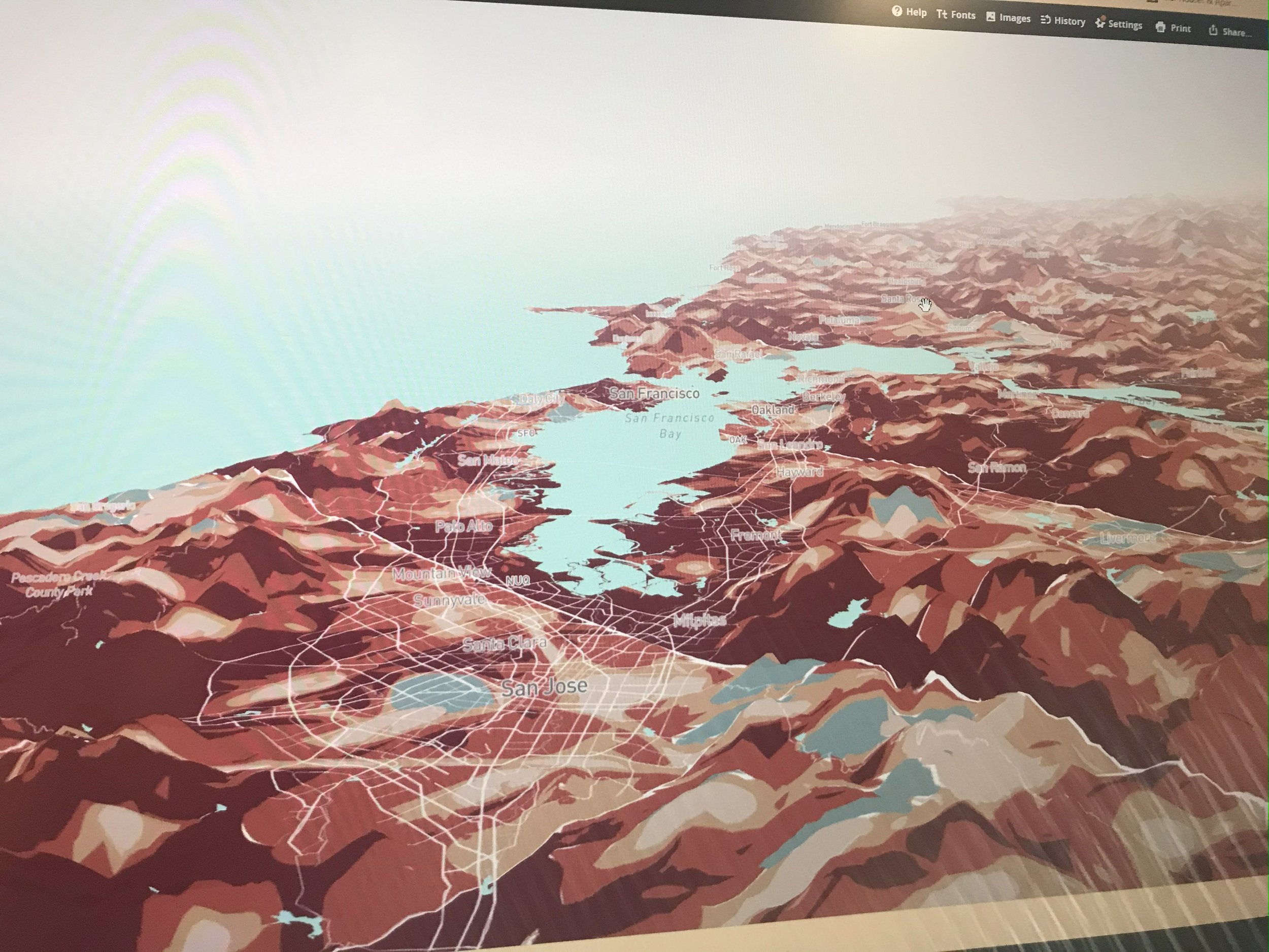
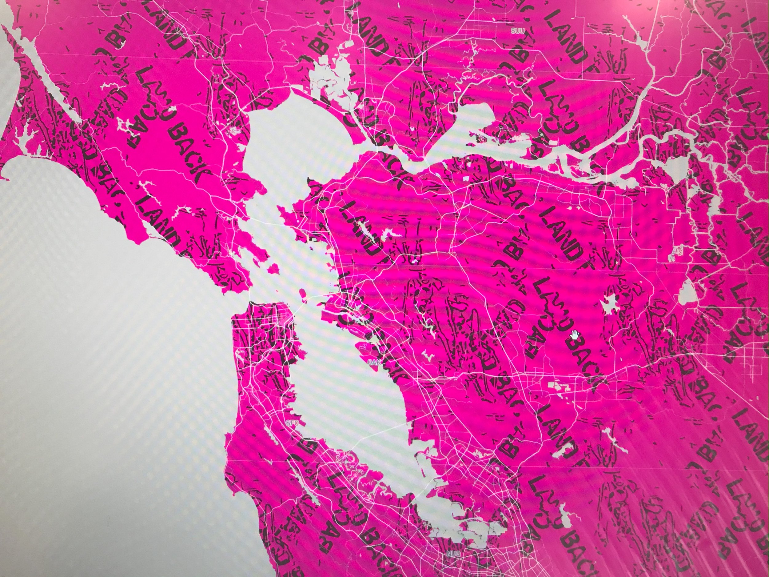
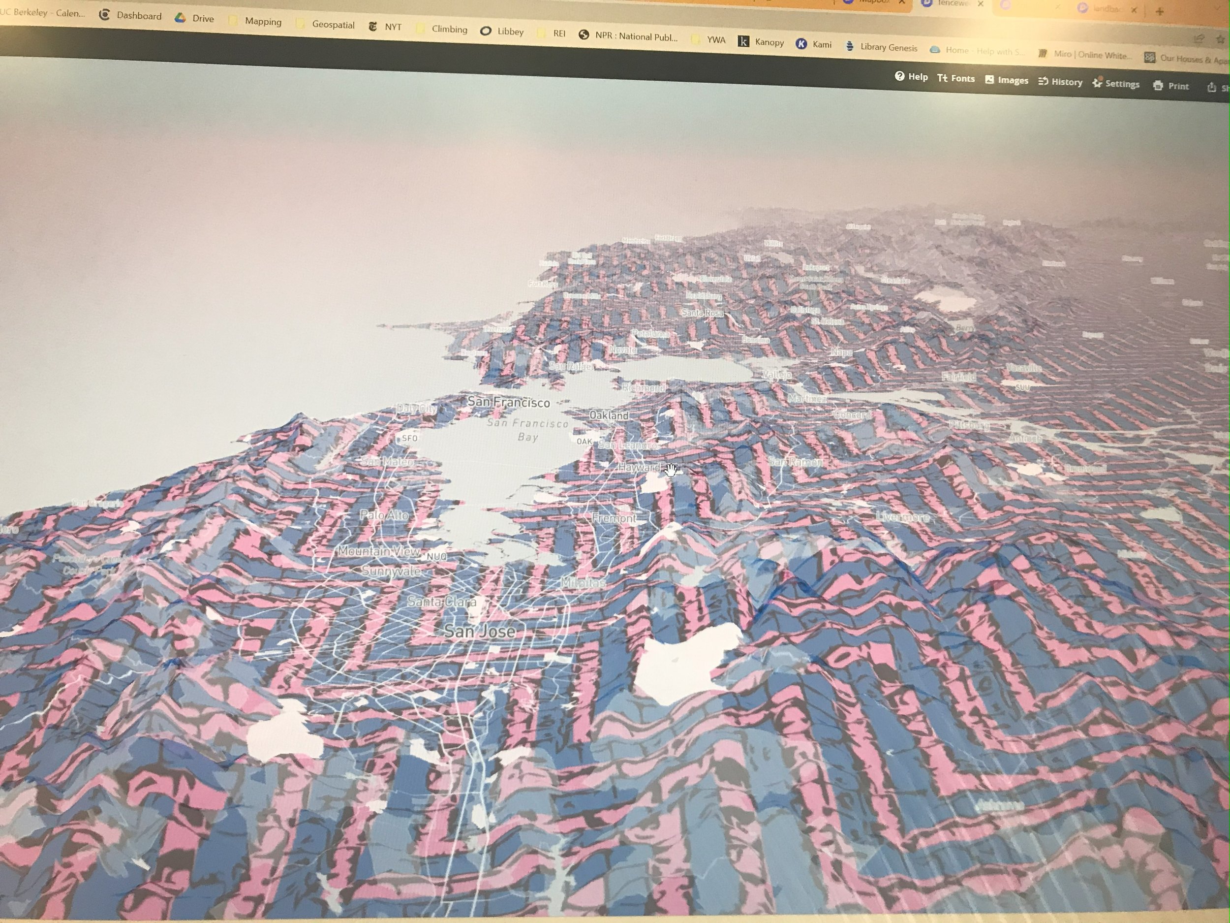
Throughout my time at Berkeley I worked with Professor Clancy Wilmott at studio.geo(?) in an experimental cartography studio. We worked with Sogorea Te Land Trust on creating a decolonial map of the Bay Area. UI worked creating base maps, connections with the land that the land trust stewarded with images and textures, as well as charting seasonal stars and ideas for conveying more relational seasonality and dynamic mapping. These projects cannot be shared as of yet as they are still in process of protecting the creative and collaborative environments that made them.
Below are a few base map samples using images and textures from the land returned to Sorgorea Te, including corn, basket weaving and signage.